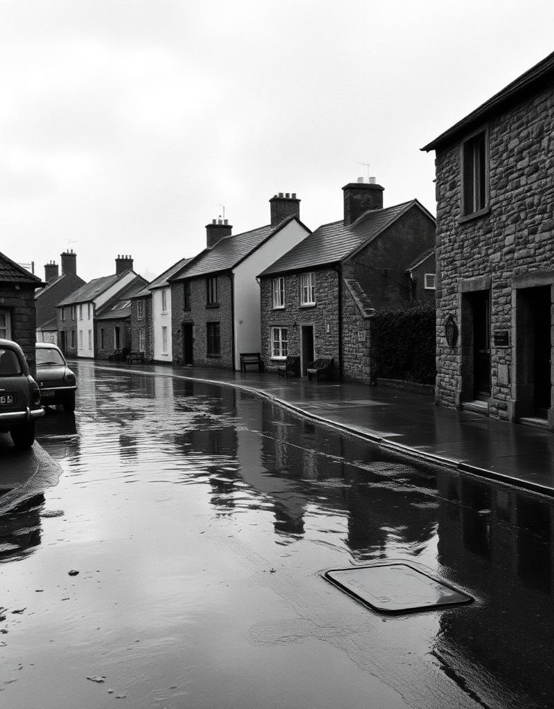
The Great Atlantic Storm
"The sea didn't just rise; it reclaimed the harbour road. My father's shop was chest-deep in saltwater by noon."
Liam O'Shea, Dingle

A shared national layer for climate risk, community reports and infrastructure resilience — from your front door to the whole island. Check your address. See how Ireland is changing.
Flood Risk
Today & Future
Overheating
Risk
Water Stress
Outlook
Insurability
Risk
Prototype intelligence · seeded & public-source sample data · not an official risk assessment
Enter an Eircode for your free local summary.
19
Community reports · last 48h
Updated 4 min ago
7
Active incidents monitored
Updated 11 min ago
18
Counties reporting this week
Updated 23 min ago
11
Coastal regions under watch
Updated 38 min ago
43
Infrastructure alerts logged
Updated 52 min ago
6
Climate memory stories archived
Archive · ongoing
Regional intelligence · three observatory entries
Each entry opens a regional resilience layer — observational, not promotional. Enter from any Eircode in the cohort and the picture unfolds.
What Ireland is beginning to see along its Atlantic edge — coastal pressure, storm exposure, slow community adaptation.
Western Exposure Region · monitoring active
Where resilience starts to shape insurance, lending and housing confidence across a recovering catchment.
Atlantic Rainfall Pressure Zone · elevated signal
Cities are entering a different kind of pressure — heat retention, infrastructure strain, density stress.
Urban Infrastructure Adaptation Layer · seasonal trend
Observatory entries · updated continuously across regional cohorts
Built for Ireland.
Built using Irish public datasets. Designed for decisions.
Ireland is changing — coastlines, drainage, insurance, infrastructure, seasons. This is the shared picture, drawn from public data and the people living through it.
Infrastructure stress · this season
Drainage overload
Rising
Urban catchments
Insurance strain
Elevated
Repeat-flood areas
Storm recovery
Active
Western seaboard
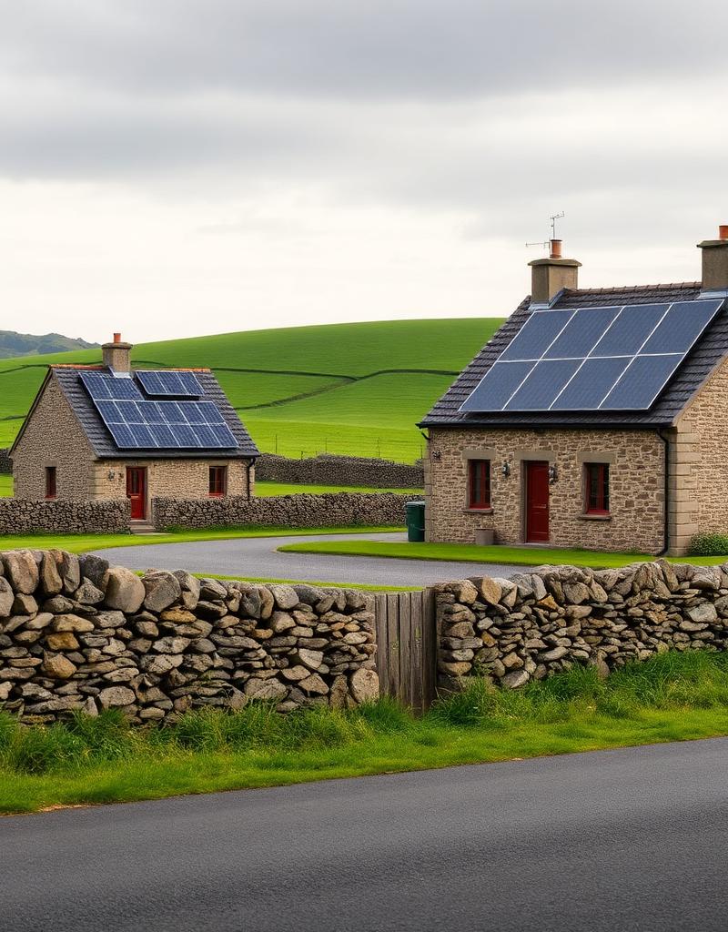
Heat adaptation
Watch
Inland urban
Regional change · what counties are reporting
Community participation
“The sea didn’t just rise; it reclaimed the harbour road by noon.”
Liam O’Shea · Dingle · 2014
126
Resilience updates
32
Memory stories
11
Local efforts
Resilience is local. We track the slow shifts — the tides that arrive higher, the drains that no longer cope, the renewals that come back changed.
Reports of pooling and drain overflow across suburban Cork have steadily increased, concentrated around the same low-lying streets each winter.
Storm-related closures along the coast road between Doolin and Spanish Point have become a regular winter occurrence.
Residents along the Salthill prom have reported tidal flooding on spring tides in each of the last three winters.
Soil stability along the upper trail has improved measurably since the 2023 native oak and birch planting initiative.
Prototype resilience intelligence using seeded and public-source sample data. Not an official risk assessment.
Preserving the stories and data of Ireland's changing landscape for the generations that follow.
"The sea didn't just rise; it reclaimed the harbour road. My father's shop was chest-deep in saltwater by noon."
Liam O'Shea, Dingle

The community of Roscommon planted 40,000 native trees, creating a natural windbreak for the entire valley.
Community archive
A once-in-a-century rainfall event submerged the East Cork town in hours, accelerating regional resilience investment.
Áine Walsh, Midleton